Don Edwards San Francisco Bay National Wildlife Refuge
11 mi north · Fish and Wildlife Service
Don Edwards San Francisco Bay National Wildlife Refuge is located in a vast cultural and natural landscape.
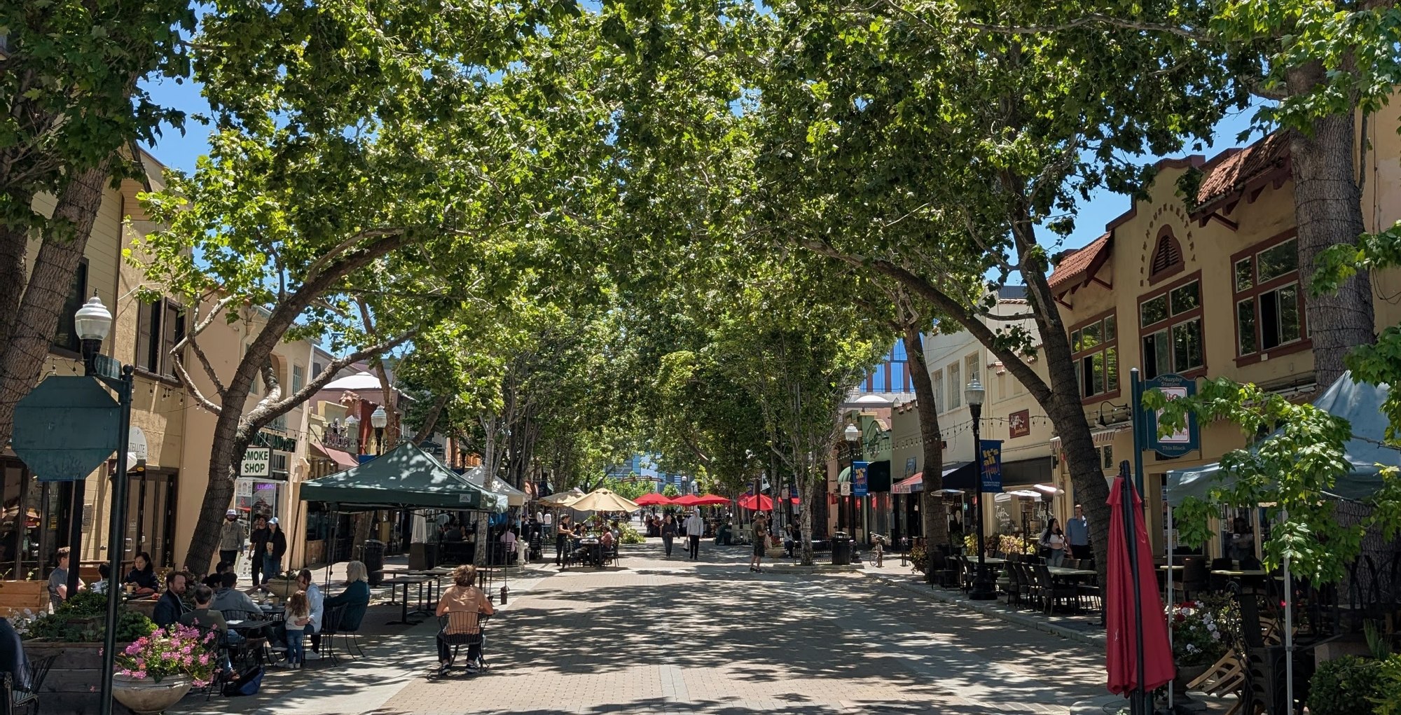
Outdoors
Refuges, lakes and wild areas near Sunnyvale for wildlife viewing and birdwatching.
Good to know: Early mornings and evenings are best for wildlife; bring binoculars and keep a respectful distance.
11 mi north · Fish and Wildlife Service
Don Edwards San Francisco Bay National Wildlife Refuge is located in a vast cultural and natural landscape.
37 mi northwest · National Park Service
Aquatic Park Cove is a vibrantly urban harbor that mimics a natural anchorage and is located on the Pacific shores of one of America's great West Coast cities.
38 mi northwest · National Oceanic and Atmospheric Administration
An area of 3,295 square miles off the northern and central California coast, Greater Farallones National Marine Sanctuary protects the wildlife and habitats of one of the most diverse and bountiful marine environments in the world.
Map of 23 places loads as you scroll.
Don Edwards San Francisco Bay National Wildlife Refuge is located in a vast cultural and natural landscape.
Aquatic Park Cove is a vibrantly urban harbor that mimics a natural anchorage and is located on the Pacific shores of one of America's great West Coast cities.
An area of 3,295 square miles off the northern and central California coast, Greater Farallones National Marine Sanctuary protects the wildlife and habitats of one of the most diverse and bountiful marine environments in the world.
As San Francisco's only group campground, Rob Hill offers a national park camping experience just minutes from the city.
The Bay Model was built in 1957 as a research tool to test the impact of proposed changes to San Francisco Bay and its related waterways.
Kirby Cove is located just north of the Golden Gate Bridge at historic Battery Kirby. Visitors are awarded breathtaking views of San Francisco, its famous Golden Gate Bridge, and the rugged Pacific Coast of northern California.
Elkhorn Slough is one of the relatively few undisturbed coastal wetlands remaining in California.
John Muir’s life was a tapestry of roles—fruit rancher, family man, writer—each interwoven with his deep love for nature.
Haypress Campground is nestled within the coastal scrub of Tennessee Valley, near Mill Valley. The hike to this campground is 1 mile from the Tennessee Valley Trail head parking lot, which means car or RV camping is not allowed.
Experience a park so rich it supports 19 distinct ecosystems with over 2,000 plant and animal species.
This 367-acre coastal National Wildlife Refuge is located where the Salinas River empties into Monterey Bay.
Walk among old growth coast redwoods, cooling their roots in the fresh water of Redwood Creek and lifting their crowns to reach the sun and fog.
The San Joaquin River National Wildlife Refuge located in Stanislaus County encompasses more than 7,300 acres of riparian woodlands, wetlands, and grasslands that host a diversity of wildlife native to California’s Great Central Valley.
Recreation facilities at San Luis Lake were constructed under a cost-share agreement between the Bureau of Reclamation and the State of Colorado during the late 1980s and early 1990s.
Monterey Bay National Marine Sanctuary is one of the most spectacular marine protected areas. This sanctuary also has one of the largest underwater canyons and closest-to-shore deep ocean environments.
Entirely offshore, Cordell Bank National Marine Sanctuary protects soft seafloor habitat, a rocky bank, deep-sea canyons, and diverse wildlife, while acting as a feeding ground for many marine mammals and seabirds.
Point Reyes National Seashore offers four backcountry hike in campgrounds and thirteen boat in campsites along Tomales Bay. Note: For reservation purposes, our campgrounds are organized under the "loop" column of the reservation grid.
Amid a grove of towering trees, eight campsites create a loop within White Oaks Campground, just off Tassajara Road.
Pleasantly nestled under a large canopy of pine trees, China Camp is a campground where peace and quiet is commonplace. The spacious campsites allow you to set up camp with more than enough space between you and your neighbors.
Pinnacles Campground is located in the unique Pinnacles National Park, 32 miles south of Hollister, California. The park encompasses 26,000 acres of spectacular rock formations and remnants of an extinct 23 million-year old volcano.
Nestled between Blue Ridge and Cedar Roughs east of Napa Valley, Lake Berryessa provides ample public recreation opportunities.
Arroyo Seco Campground is a semi-rustic, but developed facility in California's westernmost national forest.
New Hogan Dam and Lake is located in the oak- and brush-covered foothills of the Sierra Nevada Mountains. The 4,400 acre lake was created in 1964 with the completion of New Hogan Dam.
Distances are straight-line miles from downtown Sunnyvale. Listings come from Recreation.gov’s federal recreation database; check each official page for hours, fees, fire restrictions and closures before you go.

THINGS TO DO · YOUTUBE SHORT
A local activity Short shared by Belugabee.
Watch on YouTube ↗
THINGS TO DO · YOUTUBE SHORT
A local activity Short shared by Abdul’s World | Bay Area Travel.
Watch on YouTube ↗


Don Edwards San Francisco Bay National Wildlife Refuge (Fish and Wildlife Service), about 11 miles north of Sunnyvale as the crow flies. Next are Aquatic Park Cove, Black Point Overnight Anchoring, Sailing Vessels only (auxiliary engine OK) (37 mi) and Greater Farallones National Marine Sanctuary (38 mi).
Federal agencies including National Park Service, National Oceanic and Atmospheric Administration, Fish and Wildlife Service. Each listing links to its official page for hours, fees, closures and current conditions.